
# 8 Free Geography Tools That Answer Questions Your GPS Can’t
Your phone knows where you are. It has no idea how far Tokyo is from New York by air, which UTM zone it sits in, or what Maidenhead grid square an emergency helicopter is broadcasting from. These questions surface in aviation, logistics, amateur radio, and land surveying every single day. Standard GPS apps never even try to answer them.
Here are eight free geography tools on ElysiaTools that plug the gap.
Great Circle Distance — The Real Distance Between Two Points
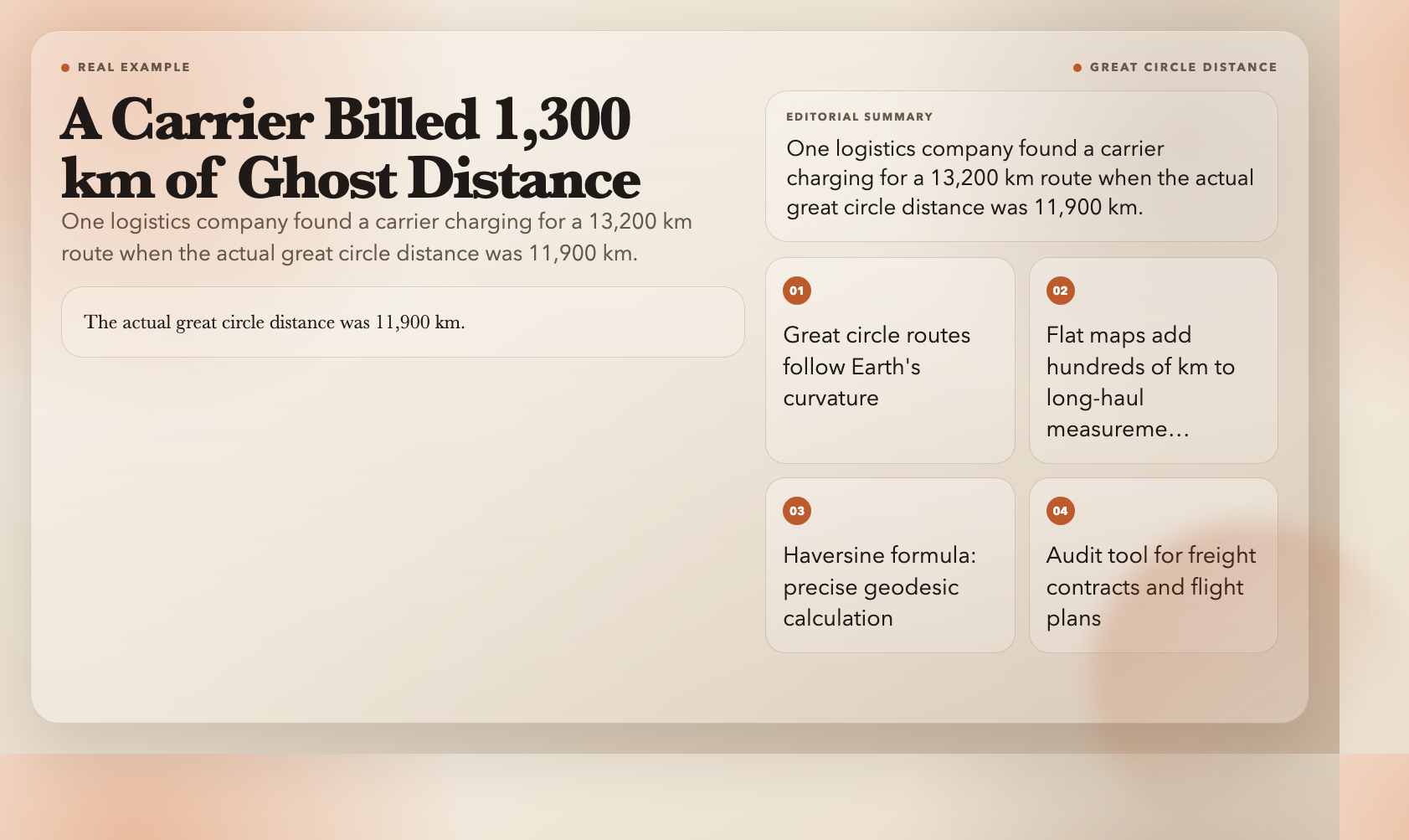
Maps lie. Not maliciously — but a flat projection of a sphere cannot show the shortest path between two points without distortion. That shortest path is a great circle route. On long-haul flights, the difference from a flat-map measurement can be hundreds of kilometers. The route from New York to Tokyo, for instance, flies over Alaska — not across the Atlantic as a Mercator chart suggests.
The Great Circle Distance Calculator uses the Haversine formula to compute the true shortest distance between any two coordinates. Pick your unit — kilometers, miles, nautical miles, or meters — and the result appears instantly.
Aviation planners use this to estimate fuel requirements before a flight is even cleared. Freight auditors use it to verify carrier-reported distances. In one logistics case, a company discovered a carrier had been billing for a 13,200 km route when the actual great circle distance was 11,900 km.
Bearing Calculator — Which Direction Are You Actually Heading?
Distance only answers half the question. Headings matter — especially on water or in the air, where a one-degree compass error compounds into miles of drift over distance.
The Bearing Calculator computes the initial bearing between two lat/lon pairs. It returns the azimuth in degrees plus a compass direction (N, NE, E, and so on). Output formats suit navigation software and compass work alike.
A bearing of 52.3° from London Heathrow tells a pilot the initial heading toward JFK. A bearing of 232° from Tokyo tells a dispatcher that a ship is pointed toward Hawaii. These numbers are not estimates — they are geometry.
Midpoint Calculator — Where Is the True Center Between Two Cities?
Halfway between San Francisco and London sounds like “somewhere in the Atlantic.” Where exactly? The arithmetic average of the latitudes and longitudes puts the midpoint in the wrong place — because the Earth is a sphere.
The Midpoint Calculator uses spherical geometry to find the true geographic center. This matters for plotting stopovers, choosing meeting locations between distributed teams, or understanding regional positioning for content that references multiple cities.
Distance Between Cities — The Database You Do Not Have to Build
The Distance Between Cities tool ships with a built-in city database. Select origin and destination from a dropdown. It returns great circle distance, estimated flight time, and compass bearing — no coordinate lookup required.
When someone asks “how far is Chicago to Shanghai, actually?” this gives the number that logistics planners use, not the estimate Google Maps throws out because it defaults to driving distance.
Area Calculator Map — Measure Land Area From Coordinates
Drop a set of coordinates that outline a property, a park, or a mountain ridge. Get area and perimeter in square kilometers, square miles, acres, or hectares. That is the Area Calculator Map.
Enter coordinates as latitude/longitude pairs or JSON. The tool calculates both area and perimeter of the polygon those points define. For real estate due diligence, agricultural field measurement, or hiking route analysis, this replaces a $200 GPS device with a browser tab.
Coordinates to Maidenhead — The Grid System Pilots and Hams Actually Use
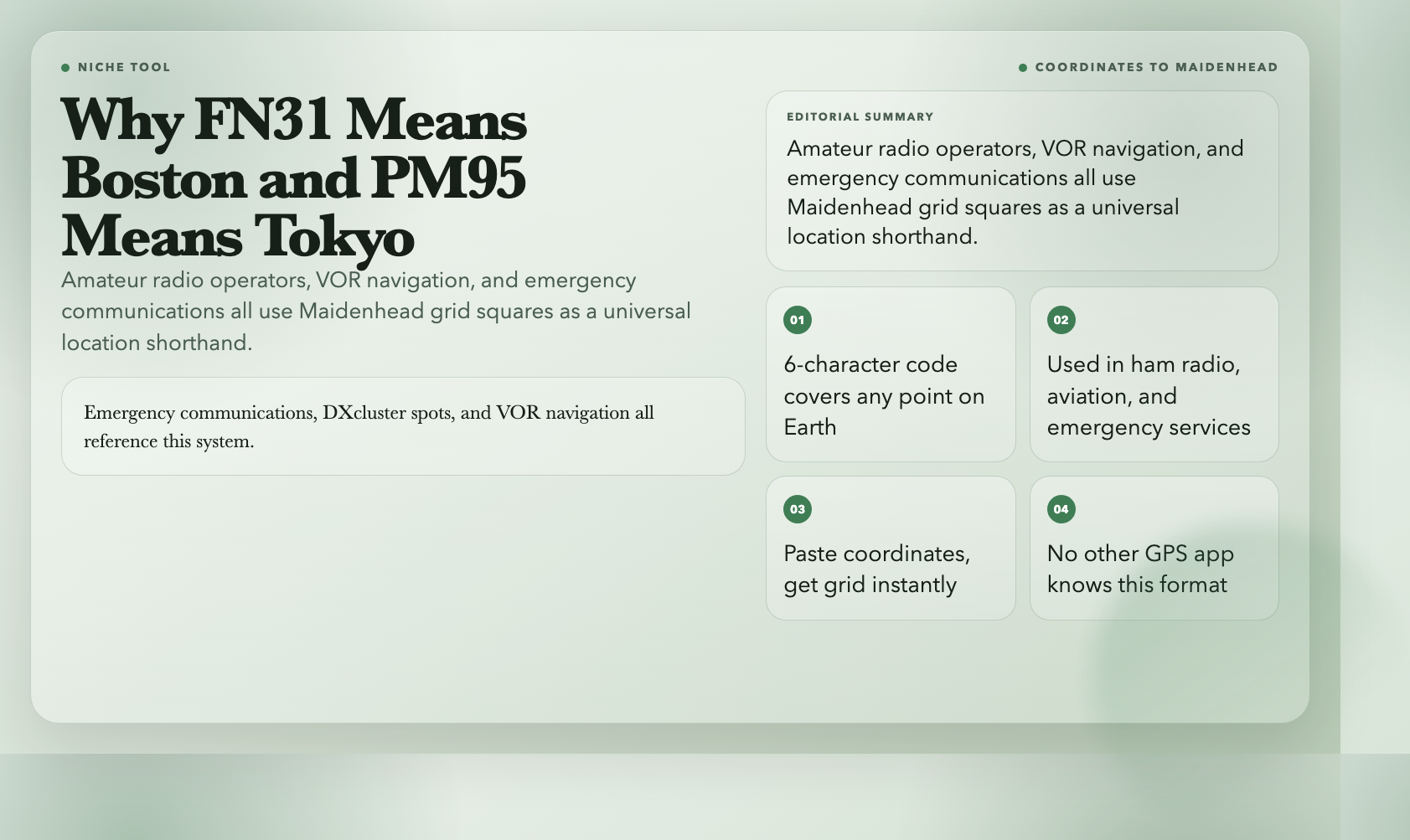
Amateur radio operators do not use street addresses or decimal coordinates. They use Maidenhead locators — a compact grid system that narrows any location on Earth into a code like FN31 (Boston) or PM95 (Tokyo). Emergency communications, DXcluster spots, and VOR navigation all reference this system.
The Coordinates to Maidenhead converter translates any latitude/longitude into its Maidenhead grid square instantly. Paste a coordinate, get a grid. If you work with ham radio in any capacity, this is the tool you keep open.
UTM Zone Calculator — Put Any Coordinate on a Flat Grid
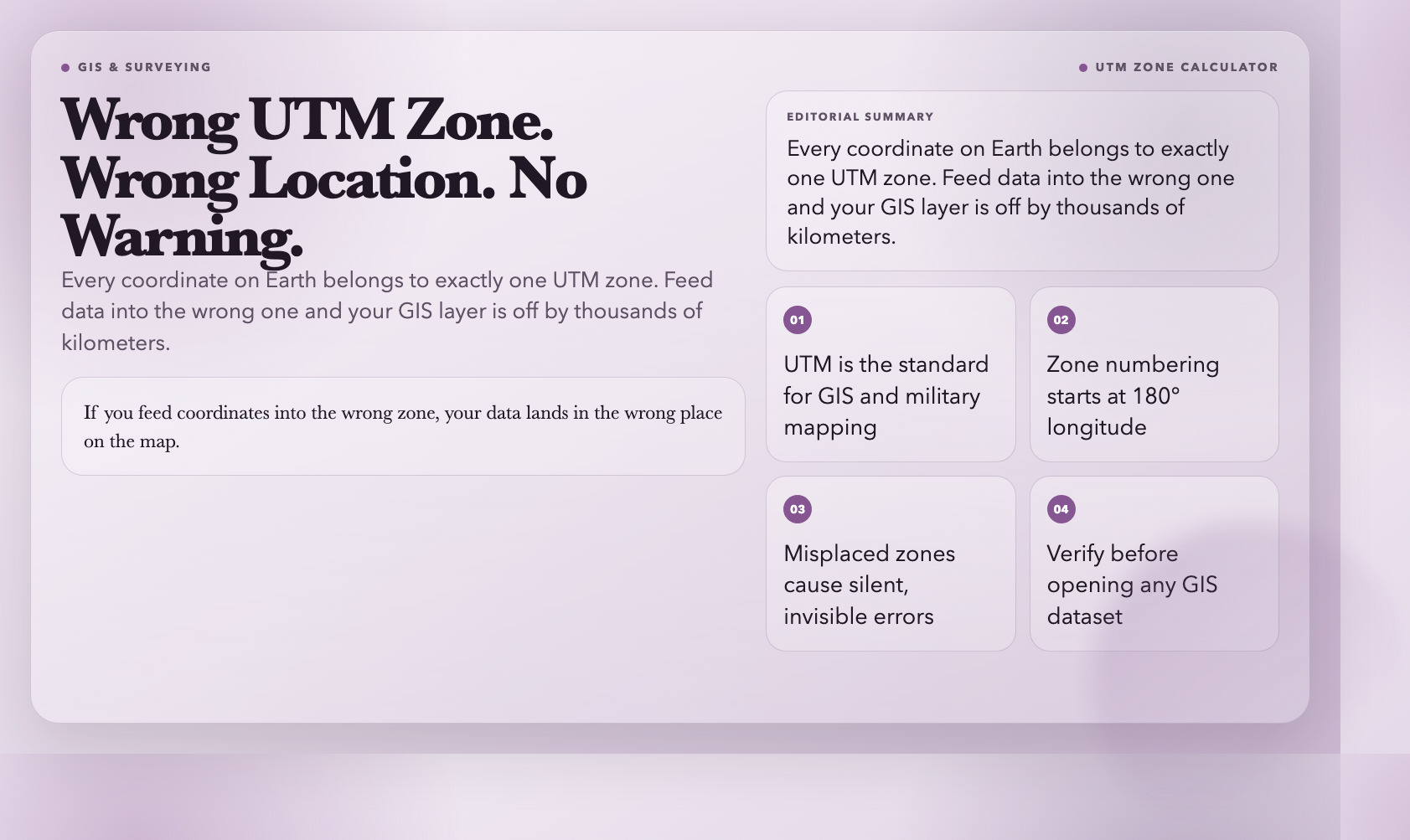
UTM (Universal Transverse Mercator) is a coordinate system that projects the globe onto flat grids, making it the standard for surveying, GIS software, and military mapping. Every point on Earth belongs to exactly one UTM zone.
The UTM Zone Calculator takes a lat/lon pair and returns the UTM zone designation. This becomes essential the moment you open a GIS dataset or a survey report — because if you feed coordinates into the wrong zone, your data lands in the wrong place on the map.
Coordinate DMS Converter — From Decimal Degrees to Degrees-Minutes-Seconds
Consumer GPS shows coordinates in decimal degrees (40.7128° N). Aviation charts, nautical maps, and older survey records use DMS format — 40° 42′ 46″ N. These are the same location. They look completely different.
The Coordinate DMS Converter handles bidirectional conversion between decimal degrees and DMS, with configurable precision. Paste from a USGS topographic map or an iPhone notes app — the tool figures out the format and converts cleanly.
These eight tools handle the questions standard GPS apps sidestep. Bookmark the Geography category on ElysiaTools for the full library — more tools get added regularly.
Next time someone quotes a flight distance that sounds off, run it through the Great Circle Distance Calculator. The number you get back will be the one the airline actually flies.
