Why Weather Moves the Way It Does: The Pressure Gradient and Coriolis Forces Behind Every Storm
On any given day, billions of tons of air are moving across Earth’s surface. It flows from the plains of the American Midwest to the coasts of Japan, spirals into hurricanes over the Caribbean, and streams eastward across the Atlantic carrying mild, wet weather to Western Europe. What governs these vast movements is not magic, not chaos, and not random chance — it is physics, and it begins with a single force: the pressure gradient.
The Pressure Gradient Force: Why Air Moves
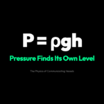
Air, like any fluid, flows from regions of high pressure to regions of low pressure. This is the pressure gradient force (PGF) — the invisible hand that gets the atmosphere moving.
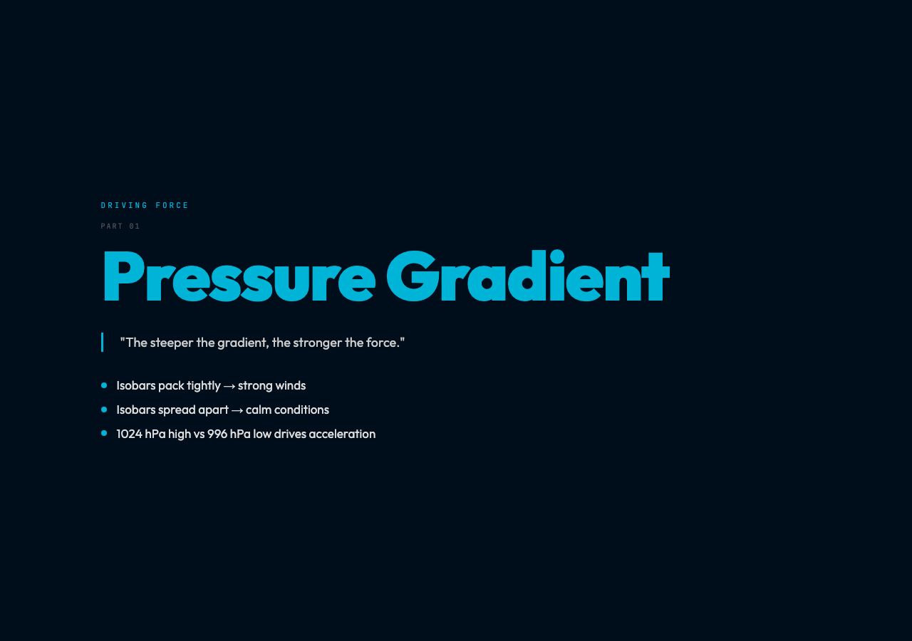
Picture a weather map showing two pressure centers: a high-pressure system sitting over the Pacific with a central pressure of 1024 hPa, and a low-pressure system over the Great Lakes at 996 hPa. The atmosphere doesn’t tolerate such differences quietly. Air near the high-pressure center feels a push outward and downward — both away from the center and toward the surface. Air near the low-pressure center gets pulled inward and upward. Where these zones of push and pull meet, the pressure gradient force accelerates air directly from the high toward the low.
The steeper the pressure gradient — the faster pressure changes over a given distance — the stronger the force. On a weather map, this gradient appears visually as isobars: lines connecting points of equal atmospheric pressure. When isobars are packed tightly together, the gradient is steep, and winds will be strong. When they are spread far apart, conditions are calm.
The Coriolis Effect: Why Wind Doesn’t Flow Straight
If the pressure gradient force were the only player, wind would simply blow straight from high to low pressure, and weather would be straightforward to predict. But Earth is rotating, and rotation introduces a deflecting force: the Coriolis effect.
Named after the 19th-century French engineer Gustave-Gaspard de Coriolis, this effect arises because different latitudes rotate at different speeds. A parcel of air at the equator is moving eastward at roughly 1,670 kilometers per hour due to Earth’s rotation. Move that parcel northward toward the pole, and it carries that high eastward velocity with it — but the ground beneath it is rotating more slowly. To an observer on the ground, the air appears to be deflected sideways.
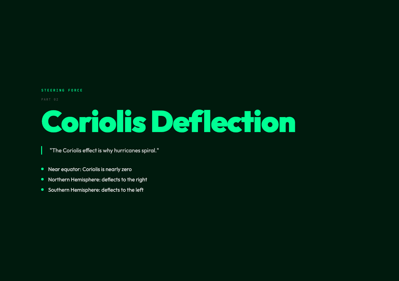
The direction of deflection depends on hemisphere. In the Northern Hemisphere, the Coriolis effect deflects moving air to the right of its path. In the Southern Hemisphere, it deflects to the left. This is why hurricanes spin counterclockwise in the Northern Hemisphere and clockwise in the Southern — the inward-flowing air gets progressively deflected, creating the characteristic spiral.
Mathematically, the Coriolis acceleration is proportional to the wind speed and the local latitude. Near the equator, where latitude approaches zero, the Coriolis effect is weak — which is why the doldrums, a zone near the equator with weak pressure gradients and calms, exist partly because any Coriolis deflection is too weak to organize wind into persistent patterns.
Geostrophic Wind: The Balance That Governs Large-Scale Flow
When pressure gradient and Coriolis forces act on air over a large, flat region (such as the open ocean or the Great Plains), they can come into approximate balance. In this geostrophic balance, the pressure gradient force pushing air from high to low is exactly counteracted by the Coriolis deflection pushing it perpendicular to its path.
The resulting wind flows parallel to isobars, rather than across them. In the Northern Hemisphere, geostrophic wind blows such that low pressure stays on your left and high pressure stays on your right. (Flip this in the Southern Hemisphere.) This is essentially the rule meteorologists use when reading pressure maps.
The geostrophic approximation works best at mid-latitudes, above the planetary boundary layer where friction slows the wind and disrupts the balance. In practice, real winds near the surface are some combination of geostrophic flow and friction-induced deflection, which causes surface winds to cross isobars at an angle rather than running parallel to them.
Buys-Ballot’s Law: The Rule for Standing Outside
In 1857, Dutch meteorologist Christoph Buys-Ballot codified an observational relationship that remains useful today: face the wind in the Northern Hemisphere, and low pressure will be roughly to your right, high pressure to your left. In the Southern Hemisphere, the relationship is reversed.
This rule is a practical consequence of the Coriolis deflection. When you stand facing the wind, you are facing the direction the air is traveling. The Coriolis force deflects it to your right in the Northern Hemisphere — which means the net perpendicular force (Coriolis minus whatever small pressure gradient contribution exists perpendicular to your facing) has a leftward component. That leftward component is the pressure gradient force, which points from high toward low — putting low on your right.
The law is approximate and works best when pressure systems are relatively strong and the observer is well away from the equator. But it is remarkable that you can, with practice, look at clouds and feel the breeze and infer something real about where pressure systems are located — without checking an app.
Reading a Weather Map: Highs, Lows, and What They Mean
High-pressure systems — marked with an H on weather maps — are regions where air is descending. Descending air warms adiabatically (as it compresses under its own weight), which reduces its relative humidity and disperses clouds. This is why high pressure is generally associated with clear, settled weather. In the Northern Hemisphere, winds around a high rotate clockwise, spiraling outward.
Low-pressure systems — marked L — are regions where air is rising. Rising air expands and cools, which can bring moisture to condensation and generate clouds and precipitation. A maturing low-pressure system draws air in at low levels, and the incoming air’s Coriolis deflection creates a characteristic counterclockwise spin. This is the geometry behind every extratropical cyclone in the Northern Hemisphere.
The interaction between successive high and low systems is what drives the day-to-day weather variability of mid-latitudes. The spacing and intensity of isobars on a weather map encode both the current conditions and the short-term forecast — tightly packed isobars mean strong winds and potentially severe weather; widely spaced isobars mean a period of calm.
Why This Matters Beyond the Forecast
Understanding pressure-gradient and Coriolis physics is not merely academic. It is the foundation of how we predict weather, route ships, understand ocean currents, and model climate. The same principles that produce a local afternoon breeze also produce the jet stream — a ribbon of fast-moving air at the tropopause that steers storm systems and controls weather patterns across entire continents.
The pressure-gradient force is the engine. The Coriolis effect is the steering wheel. Together, they transform a spinning planet with uneven solar heating into the dynamic, living atmosphere that shapes every environment on Earth.
The next time you check a weather map, pause on the isobars. They are not just lines on a chart — they are a visual encoding of forces in motion, written in the language of physics.