# Stop Trusting Flat Maps for Distance: 6 Free Geography Tools Every Traveler Needs
Most flight paths look curved on your screen. They shouldn’t be. The line between New York and London — roughly 5,567 km — appears as a bent arc on in-flight maps not because pilots are showing off, but because they’re flying the actual shortest route. A flat map made that path look longer than it is.
Here’s the specific distortion: a Mercator projection stretches everything near the poles to fill the rectangle. Greenland looks the size of Africa. It’s not. Africa is 14 times larger. Your mental map is systematically wrong at the poles, and your distance estimates reflect that.
The tools below fix this — not by giving you a globe, but by running the math on a sphere where it belongs.
—
1. Great Circle Distance Calculator
A great circle is the shortest path between two points on a sphere. Cut through the Earth, not around it. The Great Circle Distance Calculator does exactly this — input two latitude/longitude pairs and get the true surface distance in kilometers, miles, nautical miles, or meters, along with your initial compass bearing.
The bearing detail is important. The initial heading differs from your final heading on long routes. Fly from Los Angeles to Tokyo on a constant compass heading and you’ll land in the wrong ocean. The great circle path curves because the destination is not east or west — it’s both, converging at the poles.
Concrete example: New York to London. The flat-map distance is wrong by about 340 km. For a 747 burning roughly 12 tonnes of fuel per hour, that error compounds fast.
Use this when fuel, time, or accurate distance data matters.
—
2. Bearing Calculator
Great circle tells you how far. The Bearing Calculator tells you which direction. It outputs azimuth in five formats: decimal degrees, degrees-minutes-seconds, compass direction, NATO mils, or full detail.
One thing it makes viscerally clear: the bearing at departure is not the bearing at arrival for routes spanning significant distance. Sailors figured this out centuries ago. Modern GPS hides the calculation but not the physics.
Use this when you need a compass heading between two coordinates — for navigation, antenna alignment, or checking whether a bearing makes geographic sense.
—
3. Midpoint Calculator
The halfway point between New York and Tokyo falls north of Siberia, roughly 71°N. That’s the true geographic midpoint of that journey — not somewhere in the Pacific, where a flat map would place it.
The Midpoint Calculator finds it by spherical geometry, not by dividing a flat distance in half. For multi-segment trip planning, this tells you where on Earth you actually are at the journey’s midpoint, not where a 2D projection suggests you should be.
Flight dispatchers use midpoint data to position alternate airports. Yachtsmen use it to plan provisioning stops. For anyone dividing a long overland or maritime route, it produces information that flat-map math cannot.
—
4. Time Zone Converter
China spans nearly 60 degrees of longitude. The entire country operates on a single time zone. It’s 7:00 PM in Kashgar, at the western edge, and it’s also 7:00 PM in Shanghai, 3,700 km to the east. This is not a rounding artifact — it’s a policy decision that a physics-based converter handles correctly.
The Time Zone Converter handles these irregularities. It accounts for daylight saving shifts, non-standard offsets (India runs UTC+5:30, Nepal is UTC+5:45, and several countries have half-hour or quarter-hour offsets), and the fact that time zones are political boundaries, not physics facts.
The number worth knowing: there are 38 active UTC offsets in use right now, not 24. That gap is entirely political.
Use this before international calls, remote team coordination, or any planning that spans more than two time zones.
—
5. Country Info Lookup
Before visiting a country, you need more than its capital. You need the currency code, calling prefix, driving side, VAT rate, continent, and ISO codes — structured, not scattered across tabs.
The Country Info tool returns this as a single dataset. No Wikipedia. No cross-referencing three government websites.
This is the pre-trip checklist tool: one query, complete country dossier, ready to use.
—
6. Rhumb Line Distance
Great circles are shortest. Rhumb lines are constant. A rhumb line crosses every meridian at the same angle — set your compass to a fixed heading and hold it, and you trace a rhumb line.
Sailors favored rhumb lines historically because they’re steerable without calculation. Great circles require continuous heading adjustments; rhumb lines do not. The tradeoff: rhumb lines are longer. On transoceanic routes, the difference can be hundreds of kilometers.
The Rhumb Line Distance Calculator gives you the alternative path — longer but simpler to follow. On a voyage where fuel and weather matter more than pure distance, knowing both options changes the decision.
—
Why It Matters
These tools share one premise: flat maps distort geography in ways that quietly corrupt your planning.
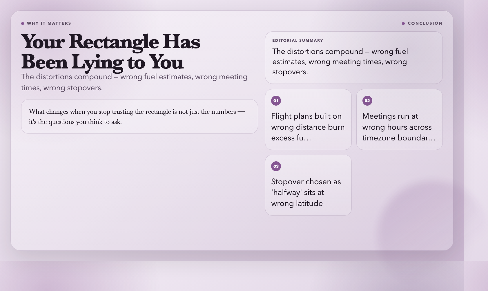
The distortions compound. A flight plan built on wrong distance burns more fuel than it should. A meeting scheduled across three time zones runs at the wrong hour for some participants. A stopover chosen as the “halfway point” sits at the wrong latitude entirely.
The planet has been a sphere for about 4.5 billion years. The math to handle it has existed for centuries. What changes when you stop trusting the rectangle is not just the numbers — it’s the questions you think to ask.
Bookmark these six. Then look at your next map differently.