Why Your Weather App Can’t Tell You If It Will Rain Tomorrow
Every morning, you check your weather app. It says “70% chance of rain.” You carry an umbrella. The day stays dry. You curse the forecast.
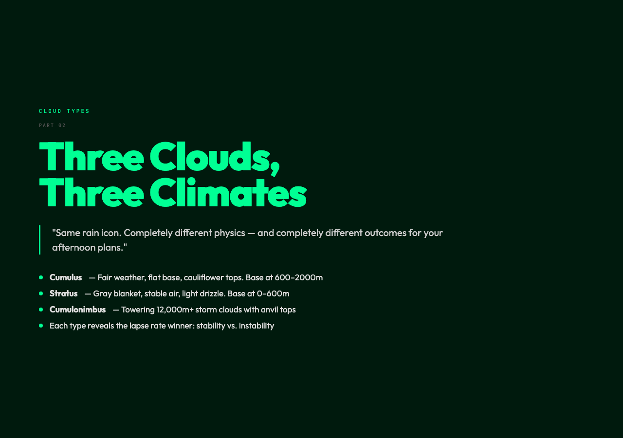
The problem isn’t the app. It’s that most weather forecasts treat clouds as a single category — and they couldn’t be more different. A sky thick with stratus at 400 meters produces drizzle that never really ends. A towering cumulonimbus punches through 12,000 meters and drops so much rain in 20 minutes that drains flood. Same “rain” icon. Completely different physics.
The real science is in the vertical.
The Invisible Line in the Sky
When warm, moist air rises from a sun-heated surface, something remarkable happens. It expands as atmospheric pressure drops with altitude. That expansion is adiabatic — no heat enters or leaves the system — and the air cools at a predictable rate: roughly 9.8°C per kilometer.
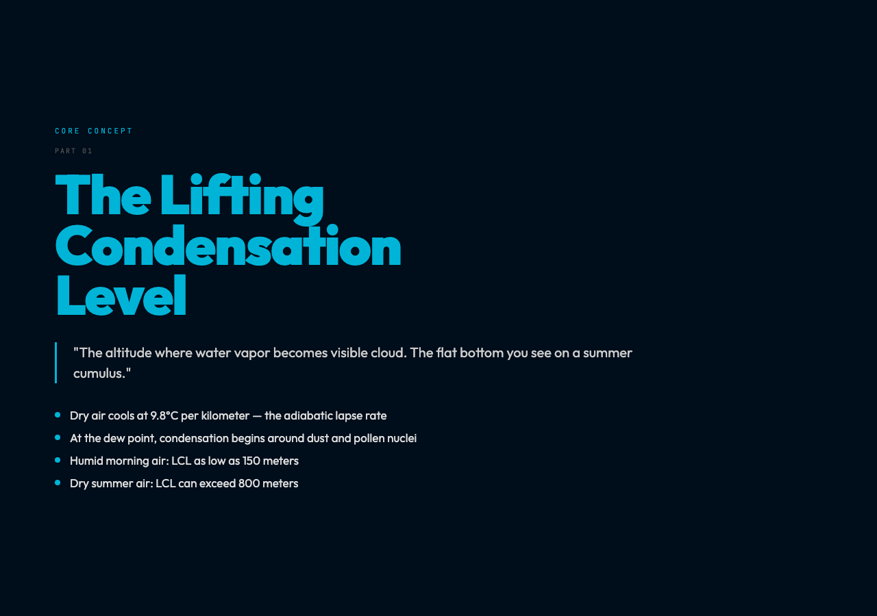
This is the dry adiabatic lapse rate. It continues until the air hits its dew point temperature. That altitude has a name: the Lifting Condensation Level, or LCL. Below it, water molecules stay invisible as vapor. Above it, they begin condensing around microscopic particles — dust, pollen, sea salt — called condensation nuclei.
The LCL is the cloud base. It’s the flat bottom you see when cumulus clouds form on a summer afternoon. It’s also the number your weather app almost never shows you.
A typical summer day: – Surface temperature: 30°C – Relative humidity: 60% – LCL altitude: ~800 meters
A humid, overcast morning: – Surface temperature: 18°C – Relative humidity: 95% – LCL altitude: ~150 meters
That difference — 150 meters versus 800 meters — completely changes what kind of cloud forms, how fast it grows, and whether precipitation falls at all.
Three Ingredients, Not One
Meteorologists describe cloud formation with a simple checklist: water vapor, cooling mechanism, condensation nuclei. Of these, the cooling mechanism is the most misunderstood.
Everyone knows cold air can’t hold as much moisture as warm air. What’s less intuitive is that air doesn’t need to get “cold” in the everyday sense — it just needs to rise high enough for adiabatic cooling to do the work.
Four lifting mechanisms drive cloud formation:
1. Convective lifting — Sun heats the ground unevenly. Warm parcels rise in thermals. Cumulus on a summer afternoon.
2. Orographic lifting — Wind hits a mountain and is forced upward. Clouds form on the windward side. The fog you see hugging coastal hills is this, at small scale.
3. Frontal lifting — A warm air mass slides over a colder one. Large-scale, sustained ascent. Steady, widespread precipitation.
4. Convergent lifting — Air masses meet and are forced upward. Associated with low-pressure systems and tropical weather.
Each mechanism produces a recognizable cloud signature. Convective lifting produces cumulus with sharp, cauliflower tops. Frontal lifting produces layered stratus that can cover hundreds of kilometers. Orographic lifting produces lenticular clouds — lens-shaped — that rotor pilots learn to avoid.
The Temperature Lapse Rate: The Number That Decides Everything
Here’s the detail that makes meteorology hard and weather apps useless for specific predictions: the atmosphere has two lapse rates, not one.
The dry adiabatic lapse rate (DALR) is constant: 9.8°C/km. Air rising without condensing cools at exactly this rate.
The moist adiabatic lapse rate (MALR) is variable: between 4°C/km and 9°C/km depending on temperature and moisture content. Why the range? Because condensation releases latent heat. As water vapor changes to liquid water, it gives back energy that partially offsets cooling. The warmer and more humid the air, the more latent heat is released, and the slower the cooling.
This matters because it determines atmospheric stability:
Unstable atmosphere (MALR > environmental lapse rate): A rising air parcel stays warmer than its surroundings, continues rising spontaneously. Thunderstorms, towering cumulus.
Stable atmosphere (MALR < environmental lapse rate): A rising parcel cools faster than surroundings, becomes denser, sinks back. Layered clouds, limited vertical development, steady light precipitation.
The difference between a puffy fair-weather cumulus and a cell-destroying cumulonimbus isn’t humidity or temperature alone. It’s which lapse rate wins.
The Life Cycle of a Cloud
A cloud isn’t static. It’s a dynamic system with a measurable life cycle:

1. Cumulus stage — Updraft dominates. Particles are small, mostly water. The cloud looks bright white because liquid droplets are small relative to visible light wavelengths. Rain hasn’t started.
2. Mature stage — Updraft and downdraft coexist. Particles have grown through collision-coalescence. Precipitation begins falling — sometimes quite heavily. The cloud top flattens into an anvil shape as it hits the tropopause and spreads laterally. This is the classic thunderstorm cell.
3. Dissipating stage — Downdraft dominates as the updraft is cut off. The cloud visible portion shrinks. What looks like a dissolving ceiling is the final stages of the storm.
A typical thunderstorm cell lasts 30 minutes. The cumulonimbus that produces a tornado may persist for hours if wind shear keeps feeding fresh warm air into the system.
Why This Matters Beyond the Forecast
Clouds aren’t just weather — they’re climate regulators. The Earth receives 340 watts per square meter of solar energy. Clouds reflect roughly 50 watts back to space (the albedo effect). They also absorb infrared radiation from the surface and re-emit it, trapping heat.
This dual role makes clouds the largest uncertainty in climate models. The IPCC estimates cloud feedback could range from -0.5°C to +2°C of additional warming per doubling of CO₂ — a range wider than the entire warming target of the Paris Agreement.
Clouds also drive the water cycle in ways that compound. Agricultural regions depend on orographic cloud formation for mountain snowfall that melts into rivers. Tropical glaciers persist because cloud cover blocks sunlight during the day while insulating at night. The Amazon rainforest exists partly because of cloud formation processes that concentrate moisture.
What You Can Actually Predict
Understanding the physics doesn’t make you a weatherman. But it does let you read the sky more intelligently than any app:
Flat, gray stratus — Stable atmosphere, weak lifting. Light drizzle or mist. Will persist. No dramatic change.
Puffy cumulus on a clear day — Shallow convection. Typically fair weather. If they start growing vertically and darkening at the base, watch: the atmosphere is becoming unstable.
Anvil-shaped clouds — Cumulonimbus that hit the tropopause. Severe weather possible: heavy rain, hail, lightning, wind. Move indoors.
Iridescent or pearlescent clouds — Ice crystals at high altitude catching sunlight. Beautiful and harmless — just indicating very high, very cold clouds.
Ragged, shredding cloud edges — Wind shear. The top of the cloud is moving faster than the base. Associated with strong storms.
The next time your app says “70% chance of rain,” ask which kind. The physics will tell you whether to carry an umbrella or move your outdoor plans to a different hour entirely.
Try it yourself: Cloud Formation — Interactive Visualization — adjust surface temperature, humidity, and pressure to see how the lifting condensation level changes in real time. Watch the condensation altitude shift as you dial in different atmospheric conditions.