A latitude and longitude look precise, but do they identify a legal timezone? Not by themselves. We can locate 2 points a few kilometres apart that share the same sky yet follow different clocks. The broken assumption is that coordinates contain civic rules. They do not. A useful lookup must map geometry to an IANA name, expose the nearest reference, and show where its answer may fail.
A pin on a map is not a clock

Coordinates answer a geometric question: where is this point on Earth? A timezone answers a political and administrative question: which civil-time rules govern that place? Those systems overlap, but they are not interchangeable.
That distinction matters in ordinary engineering work. A delivery platform may receive GPS coordinates but need a local dispatch time. A remote-meeting service may know where a participant is but still need an IANA identifier such as Asia/Shanghai or America/New_York. A log pipeline may need the current offset and daylight-saving status without sending location data to a third-party API.
The practical output is not merely UTC+8. A fixed offset cannot describe future daylight-saving transitions, and it cannot carry the historical rule set expected by date libraries. The stable handoff is an IANA timezone name. That identifier lets downstream software format local wall-clock time and reason about transitions with a proper timezone database.
This is why the Timezone Lookup by Coordinates tool returns the IANA name, current UTC offset, DST status, local time, and nearest reference cities together. The bundle clarifies both the answer and the evidence behind it.
The lookup uses a nearest reference, not an invisible border map
The tool works fully offline. You enter latitude from -90 to 90 and longitude from -180 to 180, then choose 0 to 6 decimal places for display. It compares that point with a built-in city and timezone reference database using great-circle distance, selects the nearest reference, and assigns that city’s IANA timezone.
That design creates a fast, deterministic result. It also creates a boundary condition that should remain visible: the nearest reference city is a proxy for the official timezone polygon. Near a national border, a state line, an exclave, or a region with an unusual rule, the geographically nearest city may follow a different civil-time authority.
For example, the built-in Beijing case uses latitude 39.9042 and longitude 116.4074. It resolves to Asia/Shanghai, reports UTC+08:00, and shows no DST. The New York case uses 40.7128 and -74.006, resolves to America/New_York, and computes a DST badge for the current date.
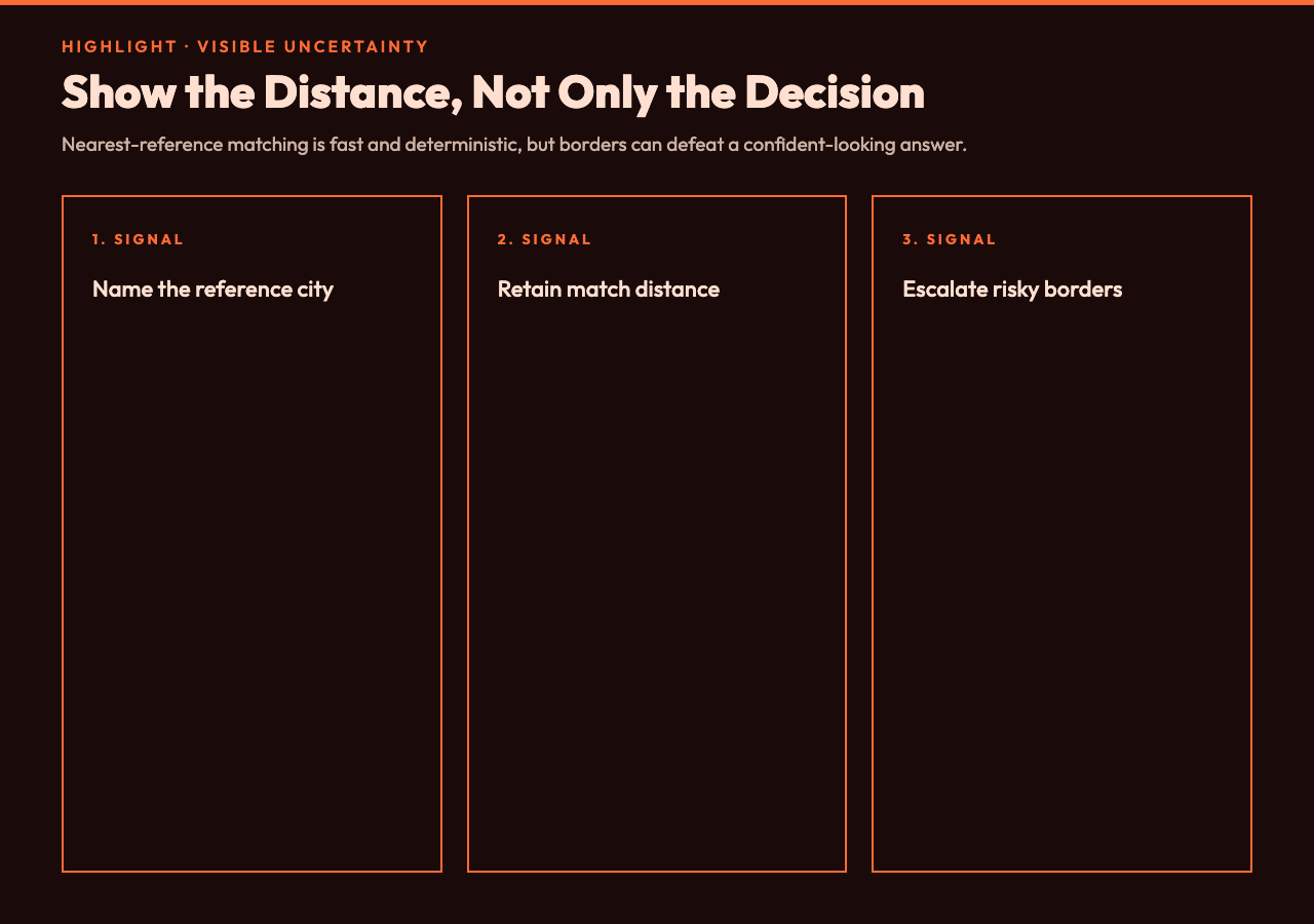
Those examples prove the intended workflow, but they should not be mistaken for a cadastral guarantee. The nearest-city distance is part of the result for a reason. A match 8 kilometres away in a dense reference area deserves more confidence than a match hundreds of kilometres away in a sparse region.
The key design rule is simple: show the distance, not only the decision. A result that exposes its nearest references lets a human or a calling system decide whether the approximation is good enough.
Current offsets are snapshots; IANA names are the contract
A common integration mistake is to save only the current offset. That can work today and break after the next DST transition. UTC-04:00 and UTC-05:00 can both describe New York in different parts of the year, while America/New_York expresses the rule set that chooses between them.
The tool computes standard and current offsets and reports whether DST is active. Its fast offline model uses northern- and southern-hemisphere month bands to approximate DST status. That is useful for planning, triage, and interface previews. It is not the right authority for payroll cutoffs, legal filing deadlines, transport timetables, or any transaction that depends on an exact transition minute.
For instance, legislators can change rules, and some regions switch on dates that a month-band approximation cannot encode. Once the lookup returns an IANA name, production software should hand that identifier to a current tz database for legal-grade conversion. The offline lookup reduces the search problem; the official database resolves the final calendar rule.
This separation improves system design. Geometry finds the likely zone. IANA data determines exact historical and future offsets. Business logic applies the deadline or schedule. Combining all 3 into one opaque answer makes failures harder to diagnose and fix.
A safer 4-step workflow for GPS, logistics, and meetings
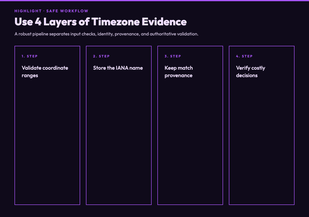
First, validate the coordinates before lookup. Latitude outside -90 to 90 or longitude outside -180 to 180 is an input error, not a timezone mystery. Rejecting invalid ranges early removes noise and prevents a plausible-looking answer from bad data.
Second, keep the IANA name as the primary result. Display the current offset for people, but store the canonical zone identifier for machines. This choice preserves future DST behaviour and makes later conversions reproducible.
Third, retain the reference city and distance as provenance. In our case, that metadata can create a simple confidence policy: accept close matches automatically, review distant matches, and escalate points near known administrative boundaries. The threshold depends on your reference density and risk, not on a universal kilometre value.
Fourth, revalidate when precision matters. Use an authoritative polygon service or a current IANA-aware library before committing money, legal deadlines, or passenger schedules. An offline approximation can cut latency and remove a network dependency, yet the final verification should match the cost of being wrong.
For teams building cross-zone calendar flows, the related Time Zone Workflow Scheduler ICS Samples show the next stage: multiple meeting candidates exported as VEVENT entries from overlap windows. The sample hub is not a coordinate resolver, but it demonstrates what a reliable IANA timezone can unlock downstream.
Privacy and determinism are features, not footnotes
An offline lookup keeps raw coordinates in the browser or local runtime instead of transmitting them to a geolocation endpoint. That can reduce exposure for field operations, customer addresses, incident reports, and internal logistics. It also removes API keys, rate limits, and network failures from the first-pass workflow.
Determinism matters too. Given the same coordinates and the same built-in reference database, the tool selects the same nearest city. Teams can reproduce a disputed mapping instead of wondering whether an upstream service changed its response. That makes tests easier to design and incidents easier to explain.
However, deterministic does not mean authoritative. A repeatable approximation can be repeatably wrong at a border. Good tools do not hide that distinction. They expose enough context to let users increase verification when the consequence demands it.
The honest answer includes its limits
Ultimately, the point is not to turn latitude and longitude into a magical clock. It is to build a transparent bridge from geometry to civil time. Use the IANA name as the contract, the current offset as a snapshot, and the reference distance as an uncertainty signal. If the next decision changes a legal deadline or a real departure time, what happens? Verify the boundary and transition with authoritative data. That is why an answer with visible limits is more useful than false precision.