If you have ever drawn a straight line on a flat world map between two cities and then measured it with a piece of string on a globe, you already know something is off. The piece of string is shorter, sometimes dramatically so, and the path it traces arcs toward one of the poles. That arc is the great circle: the shortest route between two points on the surface of a sphere. Every long-haul flight path, every shipping lane across an ocean, and every autonomous drone rerouting around a storm is silently using this idea. The math behind it is roughly two and a half thousand years old, and the Great Circle Distance Calculator lets you run it on any pair of coordinates in one line.
The formula almost everyone reaches for is the haversine formula, named because it rewrites the spherical law of cosines into a form that stays numerically stable when the two points are very close together. It looks like this, with all angles in radians and r being the sphere’s radius: a = sin²(Δφ/2) + cos(φ1)·cos(φ2)·sin²(Δλ/2); c = 2·atan2(√a, √(1−a)); d = r·c. What matters for everyday use is not the algebra; it is the three anchor decisions you make before pressing the calculate button.
Anchor One: Pick your coordinates in degrees, not in pixels
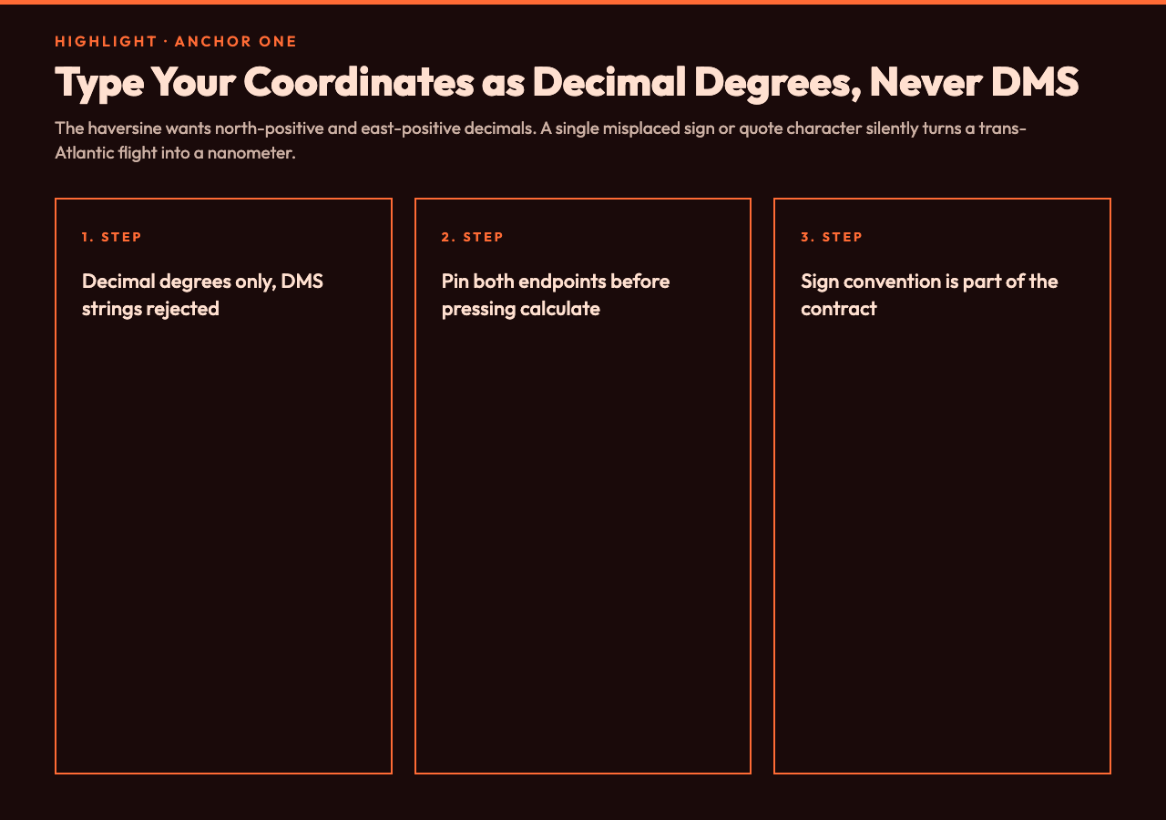
The single most common source of bad distance answers is feeding the formula with the wrong inputs. The haversine wants latitude and longitude in decimal degrees, north-positive and east-positive. If you copy a coordinate from one service that prints south as negative and another that prints it as positive, the two answers can differ by thousands of kilometers. The Great Circle Distance Calculator binds both endpoints to typed numeric fields with explicit labels, so there is no ambiguity about sign convention before the calculation even starts. Treat your inputs as if they were a contract, and the formula will not surprise you.
Watch out for one footgun: do not type DMS strings like 40°42'51"N into a decimal-degree field. Either convert first (the formula is the easy part: degrees plus minutes divided by 60 plus seconds divided by 3600) or use a tool that accepts both. A single misplaced quote character will silently produce a NaN or a zero, and the result will look like a wildly confident answer.
Anchor Two: Choose the right radius for the planet you are on
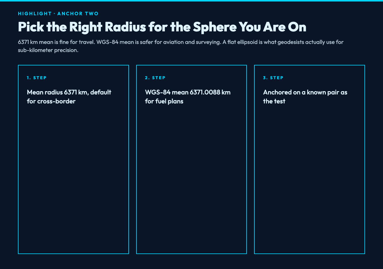
The Earth is not a perfect sphere. The equator bulges about 21 kilometers farther from the center than the poles do, because of rotation. For most consumer applications the difference is well below one percent, but if you are doing aviation fuel planning, surveying, or polar-route analysis, the choice of radius is its own anchor. The textbook value of 6371 kilometers is the mean radius and works for cross-border travel questions. For higher precision the WGS-84 mean radius of 6371.0088 kilometers is safer, and geodesists tend to use a flattened ellipsoid model that splits the calculation into two cases depending on whether your points are east-west or north-south of one another.
If you want a quick sanity check before trusting any answer, run a known pair. New York (40.7128, -74.0060) to London (51.5074, -0.1278) returns about 5570 kilometers via the haversine on a 6371-kilometer Earth. If your tool spits out 9000 kilometers, the radius is wrong or one of the signs is reversed. Anchoring on a known pair lets you calibrate in seconds without reading the source code. Keep that pair in your back pocket and you will catch radius regressions on day one. The great circle distance formula gets this right every time when the radius matches.

Anchor Three: Pick a unit that matches the audience reading the answer
Once the math is settled, the unit toggle is the smallest but loudest decision. Aviation uses nautical miles because they map neatly to one minute of latitude and therefore to degrees of compass bearing. Maritime shipping uses nautical miles for the same reason. Road travel in the United States, the United Kingdom, and a handful of other countries uses statute miles, while most of the rest of the world uses kilometers. The Great Circle Distance Calculator exposes all three plus a decimal-precision knob, so the same calculation can be quoted as 5570.3 km, 3461.7 mi, or 3008.2 nm depending on who is reading the report.
The precision field matters more than it looks. Reporting a distance to the nearest meter on Earth is honest, but reporting it to the nearest kilometer is more honest because the input coordinates are almost never precise to better than a few meters. If you are citing the value in a regulatory filing or an aviation plan, two decimals is the right call. If you are showing it on a dashboard, round to the nearest unit and stop pretending your inputs are better than they are.
How the great circle quietly shapes everything from SEO audits to drone deliveries
Search engines have used great-circle distance for years to decide which business is “near” the searcher, so a small radius misconfiguration can quietly demote a local result. Logistics teams use it to estimate last-mile drone delivery range. Astronomers use a related formula on the celestial sphere to compute the angular separation between two stars. Even the apparent position of the Moon at your latitude depends on a great-circle calculation once the parallax correction is applied. Once you start looking for it, the haversine is everywhere, which is why the same anchor checklist works whether the two points are cities, satellites, or stars. If you want a broader view of related geometry, try the bearing calculator for initial-heading problems on the same routes.
If you want to test the boundaries, try typing coordinates that are nearly antipodal. London and a point in the Pacific Ocean near New Zealand sit almost exactly opposite each other, and the haversine answer becomes numerically unstable because the angular separation approaches 180 degrees. A more numerically robust form, called the Vincenty formula, handles these edge cases by switching to a different branch of the trigonometry. For nearly all consumer use cases the simpler haversine is good enough, but knowing when you are near the antipodal edge is itself a kind of anchor. The Great Circle Distance Calculator handles the common case cleanly across both short and long routes.
If you remember nothing else, remember this: the straight line on the screen is wrong, the haversine formula is right, and the unit toggle sits closer to the answer than you think. Pin those three anchors and every great-circle distance you compute on the Great Circle Distance Calculator will line up with what pilots, mariners, and geodesic surveyors actually use. Stop trusting the ruler across a flat map, and start trusting the sphere you live on.
Explore more geometry and coordinate tools at elysiatools.com.