Every outdoor photographer eventually learns the same lesson the hard way: the prettiest light doesn’t fall when the sun is high. It falls in the slanted, honey-colored minutes around sunrise and sunset, when the disk sits within roughly six degrees of the horizon. That window has a name. It is called golden hour, and chasing it is the difference between a flat snapshot and a portfolio image.
Yet the term itself is fuzzy. People argue about whether it lasts ten minutes or forty, whether it starts before or after the sun crests the horizon, and whether it even applies when the sky is overcast. A calculator like the Golden Hour Calculator replaces the guesswork with a number you can plan around. Pass it a latitude, a longitude, and a date, and it returns the precise morning and evening windows for that location. This article walks through what golden hour actually is, why it matters, and how to use that kind of calculator alongside a small constellation of related astronomy tools to plan a shoot with the same confidence a tide table brings to a coastal walk.
What golden hour really is
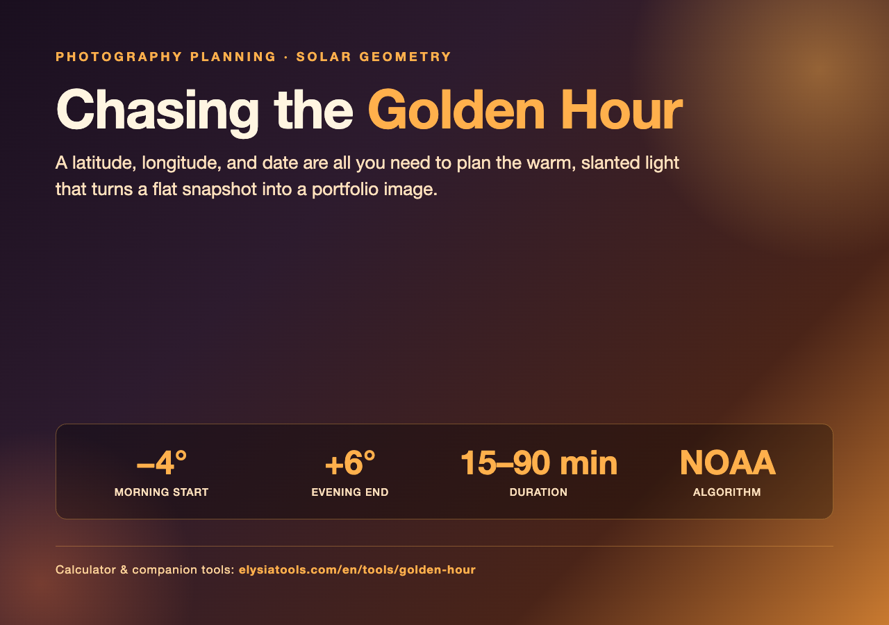
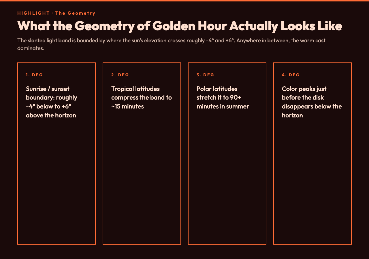
The phrase sounds like marketing copy, but it is geometrically defined. Golden hour begins when the center of the sun is roughly negative four degrees below the horizon and ends when the sun climbs to about positive six degrees above it. The numbers are not sacred; some photographers use a tighter negative-six to positive-four band, others a looser zero-to-twelve band that bleeds into the broader “magic hour” of soft daylight. The tight definition is the one most calculators converge on, because it tracks the moment when sunlight is forced to travel through enough atmosphere that the blue and green wavelengths scatter out, leaving a warm reddish cast on every surface it touches.
Two consequences follow. First, the duration depends on your latitude and the season. Near the equator, the sun rises almost vertically, so the slanted light band is short — sometimes barely twenty minutes. Near the poles in summer, the sun moves nearly horizontally and the band stretches out to an hour or more. Second, the color temperature is not constant: it warms up as the sun sinks lower, peaks in saturation just before the disk disappears, then collapses quickly into the blue band of civil twilight. A photographer who only shows up at “the official start” misses the deepest color; one who stays through the transition gets the whole arc.
Why a calculator is more useful than a rule of thumb
The instinct is to assume golden hour equals “about an hour after sunrise and an hour before sunset.” That rule of thumb is wrong in three common situations. In tropical latitudes, where the sun rises and sets nearly vertically, the actual window can be fifteen minutes. In summer at high latitudes, it can balloon past ninety minutes. And in mountainous terrain, the visible disk disappears behind a ridge long before it has truly set geometrically, which means a calculator that ignores local terrain over-promises light you will never actually see on the ground.
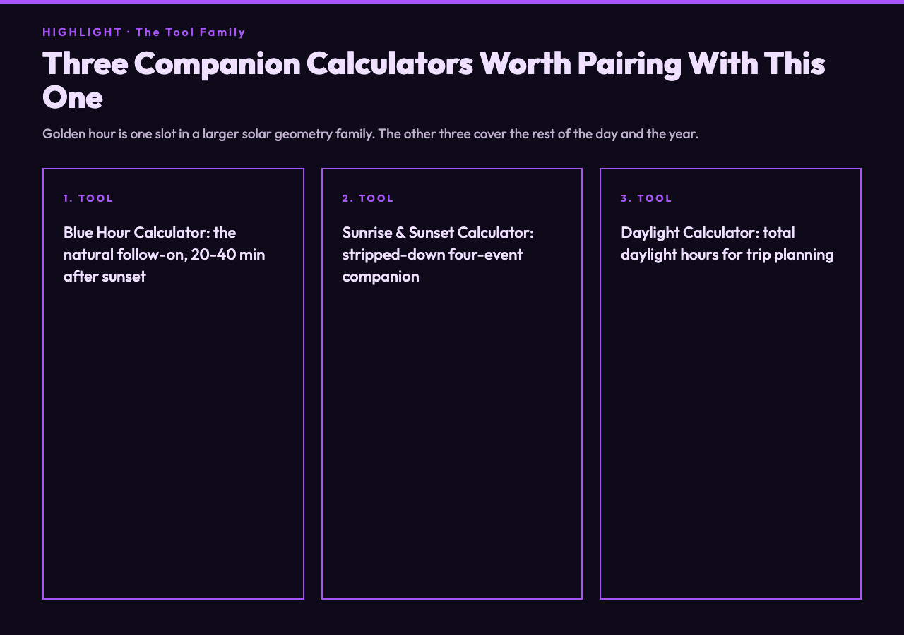
This is where a tool that takes latitude, longitude, and date shines. The Golden Hour Calculator on Elysia Tools runs the standard NOAA solar-position algorithm against your coordinates and a target date and gives you both endpoints of the morning and evening windows, plus the corresponding sunrise and sunset times for context. That is enough to plan a shoot down to the minute: when to leave the trailhead, when to start shooting, when the light will be at its peak warmth, and when to pack up before the blues take over.
The companion tool that solves the “ridge in the way” problem is the Sun Position & Shadow Length Simulator. It runs the same NOAA math but additionally computes the sun’s elevation and azimuth at any chosen time, plus the length and direction of the shadow cast by an object of known height. If you are scouting a canyon rim or a city rooftop, the azimuth reading tells you where on the horizon the sun will actually appear, and the shadow-length reading tells you whether that 80-meter radio tower will throw a long black bar across your foreground at the moment you hoped to shoot.
The shadow-length trick photographers rarely use
Most photographers think of shadows as compositional elements — leading lines, framing devices, scale references. But for landscape work, shadow length is also a sanity check on your timeline. If you arrive at a site expecting long, dramatic shadows from the trees along a ridge, but the calculated shadow length for an object at the ridge height is one-quarter of what you assumed, then you are arriving too late — the sun has climbed past the angle that produces the silhouette you wanted. Conversely, if the calculator says shadows will still be three times the height of the trees at your planned start time, you have a half-hour buffer to compose your foreground first.
This trick is also invaluable for architectural photography, where a building’s facade, balcony, or signage can fall into shadow at a specific time of day. The simulator lets you sweep the time slider and watch the shadow rotate around the object, which is much faster than guessing or even reading a compass in the field. Combine the elevation curve with the building’s known height and you have a complete sun-path forecast for that exact structure.
Three companion tools worth pairing with this one
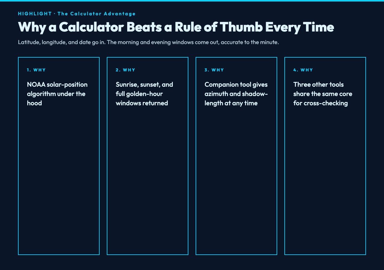
Golden hour photography does not exist in isolation. The minute the warm light fades, the next question is usually about what the sky itself will do next. Three Elysia tools extend the planning workflow without leaving the same family of calculators.
- Blue Hour Calculator — the natural follow-on to golden hour. Once the sun has dropped past zero degrees, the residual blue light in the sky peaks roughly twenty to forty minutes later. Photographers who shoot the warm band first usually stay on site for the blue band second, because the two together cover the full “alpenglow to twilight” arc. The blue hour tool gives you the same latitude/longitude/date inputs and returns the precise window, plus civil and astronomical twilight transitions for context.
- Sunrise & Sunset Calculator — a stripped-down companion when you do not need the full golden-hour window, just the four cardinal events: sunrise, solar noon, sunset, and the day’s length. Useful for sanity-checking the golden-hour tool’s outputs and for cross-referencing across multiple dates during trip planning.
- Daylight Calculator — broader than the sunrise-sunset tool, it returns total daylight hours plus the four event times. Particularly useful when you are trying to decide whether a destination is worth visiting in a given season: a place with six hours of daylight in December is a fundamentally different shoot than one with fourteen.
These four tools all share the same NOAA solar-position core, which means their outputs agree to within seconds of each other. That is by design — you should never have to reconcile two different “sunrise at 06:42” answers from two different apps when planning the same shoot.
Putting it all together for a real shoot
Suppose you are heading to Sedona, Arizona in mid-October, latitude 34.87, longitude -111.76, target date October 18. Plug those numbers into the Golden Hour Calculator and you will get the morning window (say, roughly 06:13 to 06:58) and the evening window (say, roughly 18:24 to 19:09). Cross-reference with the Sun Position & Shadow Length Simulator for the exact azimuth of sunrise on that date — important in Sedona because the famous red-rock formations light up differently depending on which face of which butte is catching the first rays.
Plan to arrive at the trailhead forty-five minutes before the morning window opens. Use that buffer to walk the last half-mile in the dark, set up the tripod, and compose your foreground while the sky is still in deep blue. Start shooting the moment the warm color hits the rock faces, and keep shooting through the full ninety minutes, because the light angle changes the entire time and the best frame often comes near the end when the shadows have shortened to the length you want. Then, if you have the energy, stay through blue hour and shoot the afterglow.
None of this requires specialized equipment beyond what you already own. A calculator that knows your coordinates and your date is the only missing piece, and once you have it, the rest is just patience and a willingness to walk before dawn.
Explore the full astronomy toolset
Golden hour is just one piece of a larger family of solar and astronomical calculators. Elysia Tools also offers dedicated tools for solstices and equinoxes and solar eclipses if you are planning around more dramatic celestial events. Start with the Golden Hour Calculator on your next shoot and let the data replace the guesswork.